I’ve been preparing my manuscripts for new releases through a new publisher, and making crafts for our church’s annual craft sale; in the latter process, I’ve discovered a wealth of images through Pinterest (nothing new to me in itself). How many of you used to collect stamps, or postcards, or specific objects? For me, the new method is Pinterest. You can find stamps on any topic, and rare ones; you can find coins, bank notes, and just about anything you used to collect physically, now available at a click with historic backgrounds and full details you could never have fit into an album.
But today, I’d like to focus on Vintage travel posters, specifically for Switzerland. So far, I have nearly 350 in my collection, and it’s likely a drop in the bucket of what was produced; every region advertised itself to attract tourists or travellers, and it’s fascinating to see what they highlighted, how they did so, what their perspective was, and how the people dressed (if they’re shown – in Switzerland, at least, a big focus is on the Alps). Did you know that the word “homesick” in English came from Switzerland? The Swiss merchants that travelled abroad in the 17th century took the word with them; when they spoke of “Heimweh”, however, they weren’t referring to people, or their home, or even their town, but of the mountains. They missed the Alps when they were away… and I can understand why. I think it must run in the veins of every Swiss-born person; when my husband and his mother speak of the mountains, it’s a foreign language to me (even though I’m fluent in Swiss German!).
We might tend to think of tourism as a modern thing; but Grand Tours began in the 17th Century, when wealthy young men, and sometimes women, would embark from the UK on a European tour. At the beginning, Switzerland was a sleepy backwater in some ways – there were few, if any, hotels – if a traveller arrived in a town seeking accommodation for themselves, their servants, postillions and horses, they were often invited to stay in the home of the local politician, who likely had the largest house… But the Swiss soon caught up with the trend, and tourism became a vital source of income, especially for small settlements in the mountainous regions.
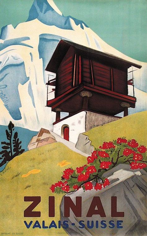
The three images below are, from left to right, from 1897, 1865, and likely the early 19th century. The house shown in the Zinal ad is typical of Wallis (Valais in French): It is built on stilts with round, flat stones between the pillar and house base; we chatted with an elderly man when we were on holidays in the region and asked him about it; it is a way to keep rats and mice out of the houses. It also means that the back, and sometimes even the front, is only accessible by ladder.
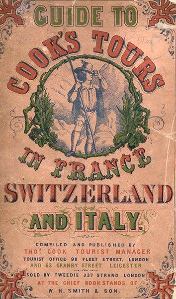
The 1865 poster is about a tour organized by Thomas Cook, a well-known name in the British travel industry even today; Cook took his first tour group of around 485 people on an 11-mile train trip from Leicester station to Loughborough, in 1841. Soon, he began to expand his scope, and by the 1860s, that included Switzerland.

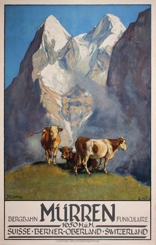
The Spiez poster below shows the castle and lake; The Zürich poster shows a view over Lake Zürich from atop the Uetliberg mountain, the summit of which is called Uto Kulm. To see a live-cam panorama from that vantage point, just click here. The Mürren poster is a view typical of every Alpine pasture, even today.


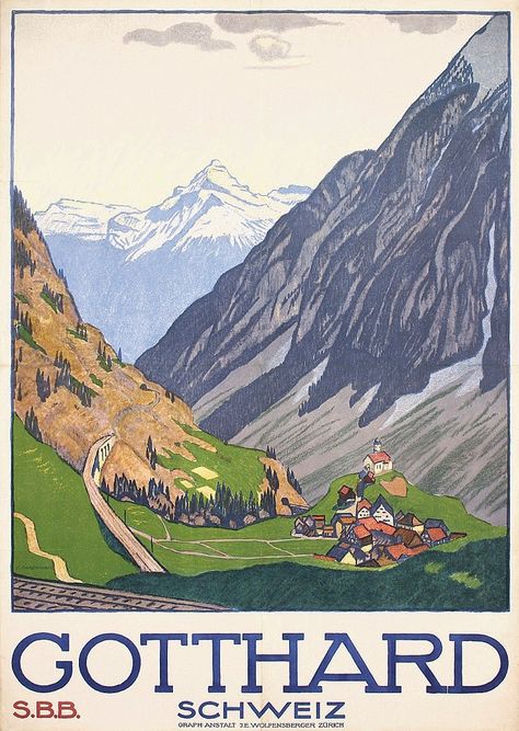
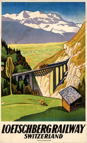
The next 3 images are firmly in the Alps: The glacier shown in the first image is the Aletsch Glacier, the largest in the Alps, covering around 80 square kilometres (31 m2), with a length of ~23 km (14 miles) with a maximum thickness of ~1 km of ice. As with most glaciers in the world, it is retreating. Gotthard (officially the Saint-Gotthard Massif) is an impressive region connecting north and south Switzerland between Uri and Ticino, German- and Italian-speaking cantons, respectively. It has long been a major axis of Europe, with a road across, a vehicle tunnel through (built 1980), a cargo and transport train tunnel (opened 1882), and now a passenger- and vehicle-transport train tunnel which opened in 2016 and is the world’s longest railway tunnel and the deepest traffic tunnel, as well as the first flat low-level tunnel through the Alps. The 3rd poster highlights the Lötschberg, a massif with a train transport tunnel linking the north and south of Switzerland through the Berne and Valais routes. We often take this route when going to Valais or Ticino on holidays; the train is an open, continuous carriage, meaning you drive on, sit in your car, and watch the tunnel fly past.

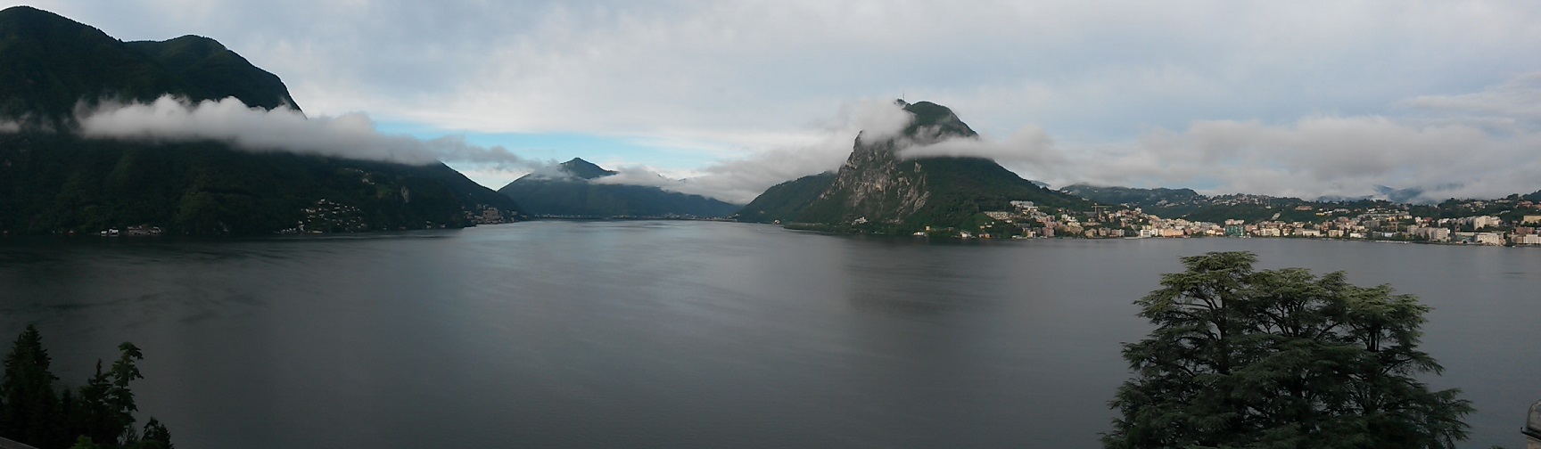
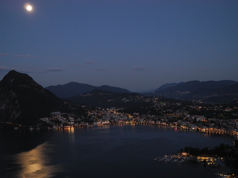
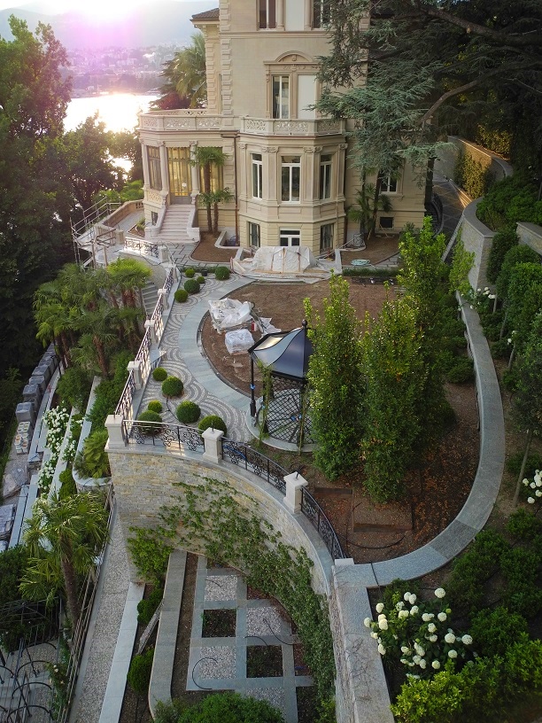
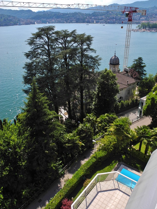
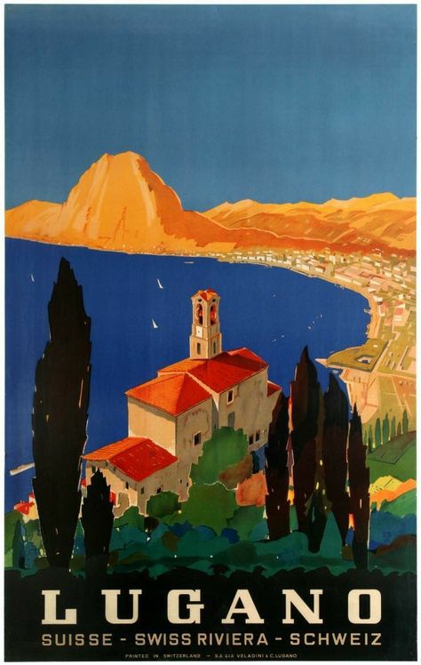
The next 3 posters highlight something nearly ubiquitous in Switzerland: Lakes. They’re everywhere. We even share Lake Constance with Germany and Austria, and Lake Geneva with France. From border to border, we have over 100 main lakes and countless smaller ones (in an area what easily fits within the state of Maine, US, to give you a size comparison). The first poster is encouraging locals to explore, commemorating the 650th anniversary of the formation of the core of Switzerland. The second shows Lake Lugano from the perspective of Monte Bre, with the city of Lugano along the shore. It’s a perspective I know well, as the family had a holiday home on the flanks of Monte Bre until last year. San Salvatore is the mountain peak shown. The third poster is of the Vierwaldstättersee (“Lake of the four forested settlments”): This is the most complex lake in Switzerland, and not only for its names: In English it’s known as Lake Lucerne, although that is just one arm of the sprawl. Sections are Lake Lucerne, Lake Urner, Lake Kussnacht, Chrüztrichter and Lake Alpnacher. The many-armed lake is shared by the cantons of Uri, Schwyz, Obwalden, Nidwalden (originally one canton known as Unterwalden) and Lucerne. Signs of settlements found by archaeologists go back to at least 3,000 BC. To see this lake through live-cams, just click here. The site is in German, but just click on the view you’d like to explore.


I hope you’ve enjoyed this virtual tour! And perhaps you’ll come to Switzerland one day to see it for yourself!